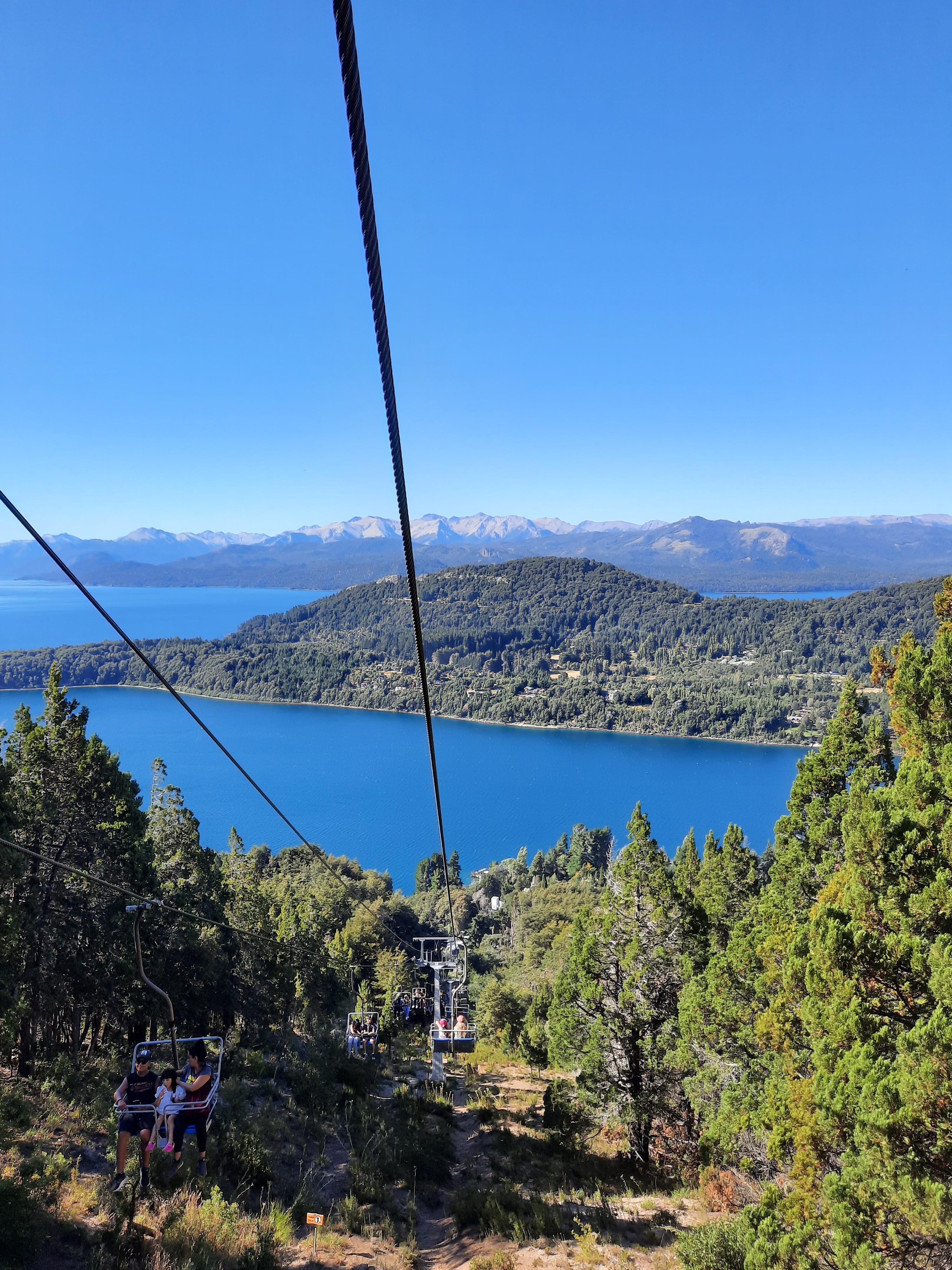
🏞️ 01
The Nahuel Huapi panorama
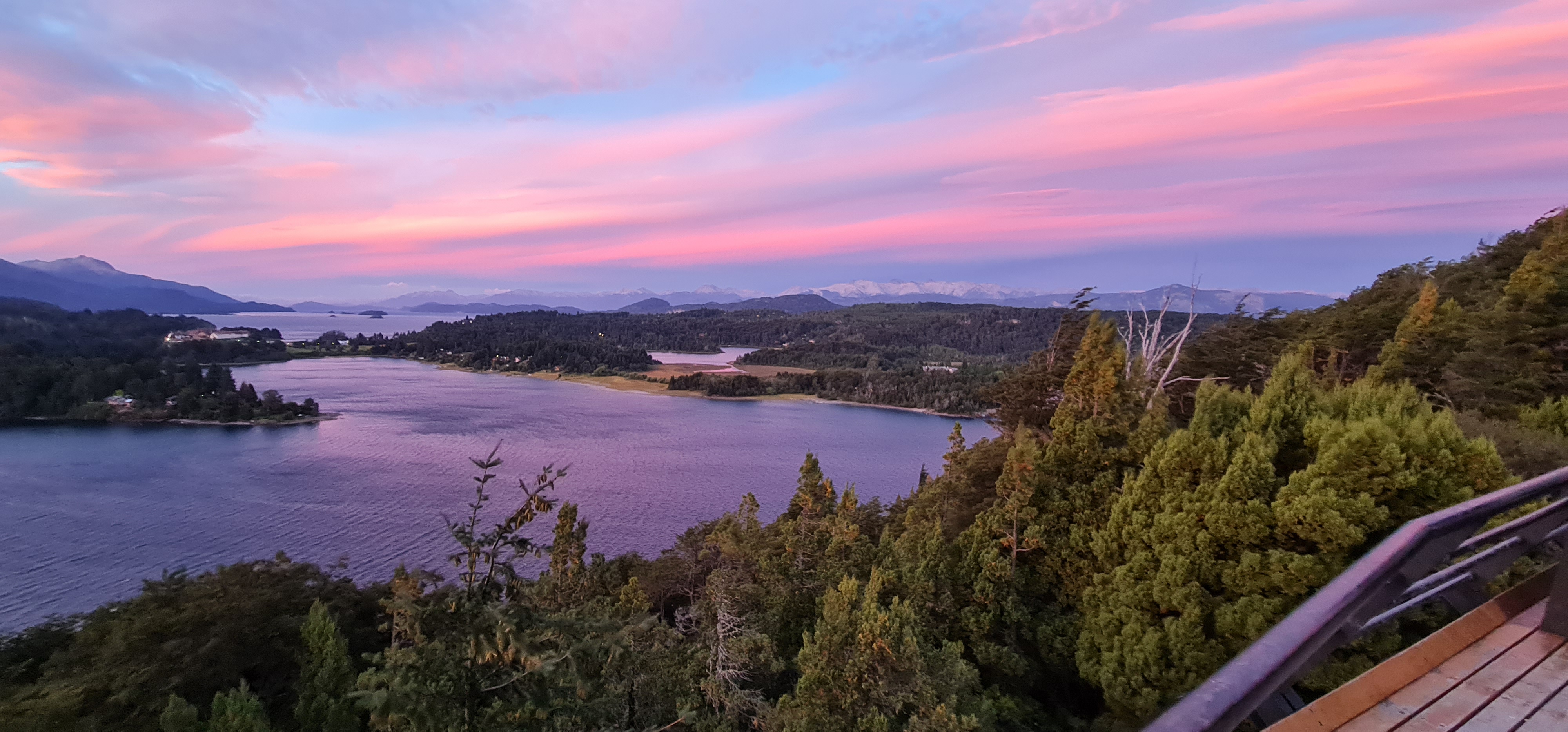
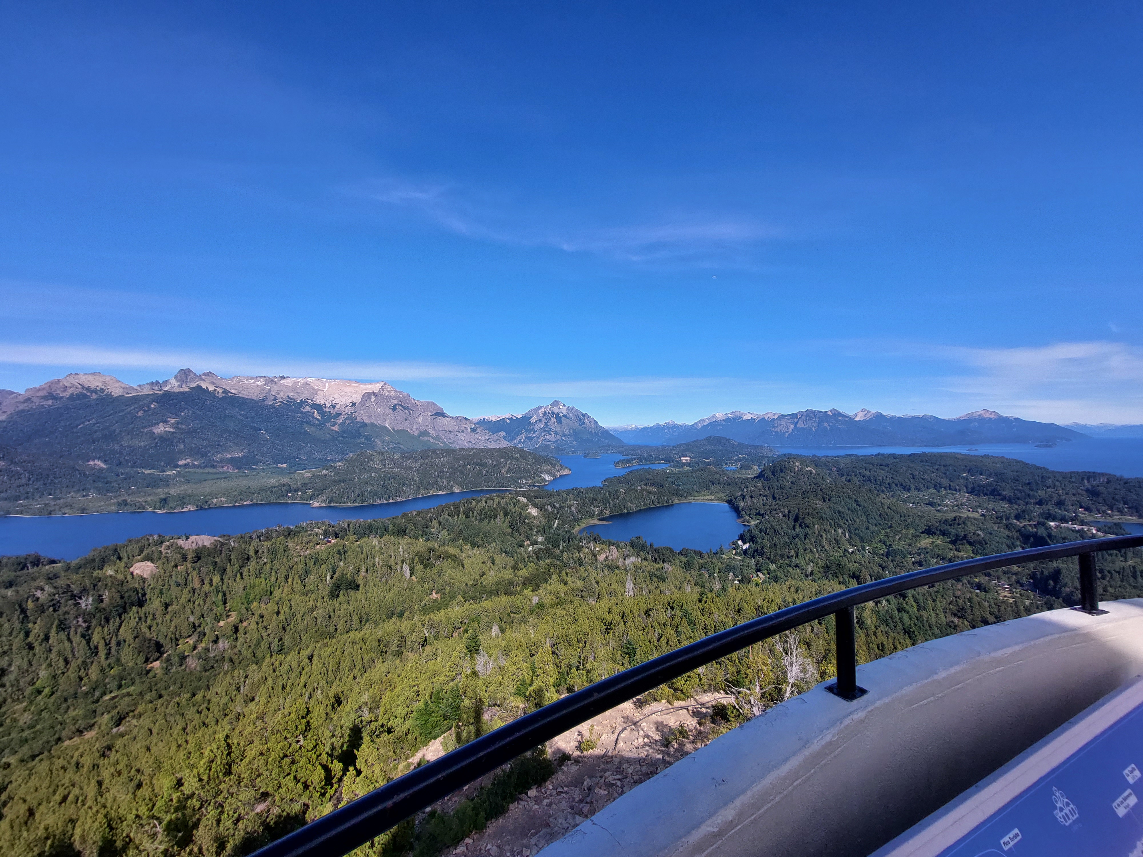
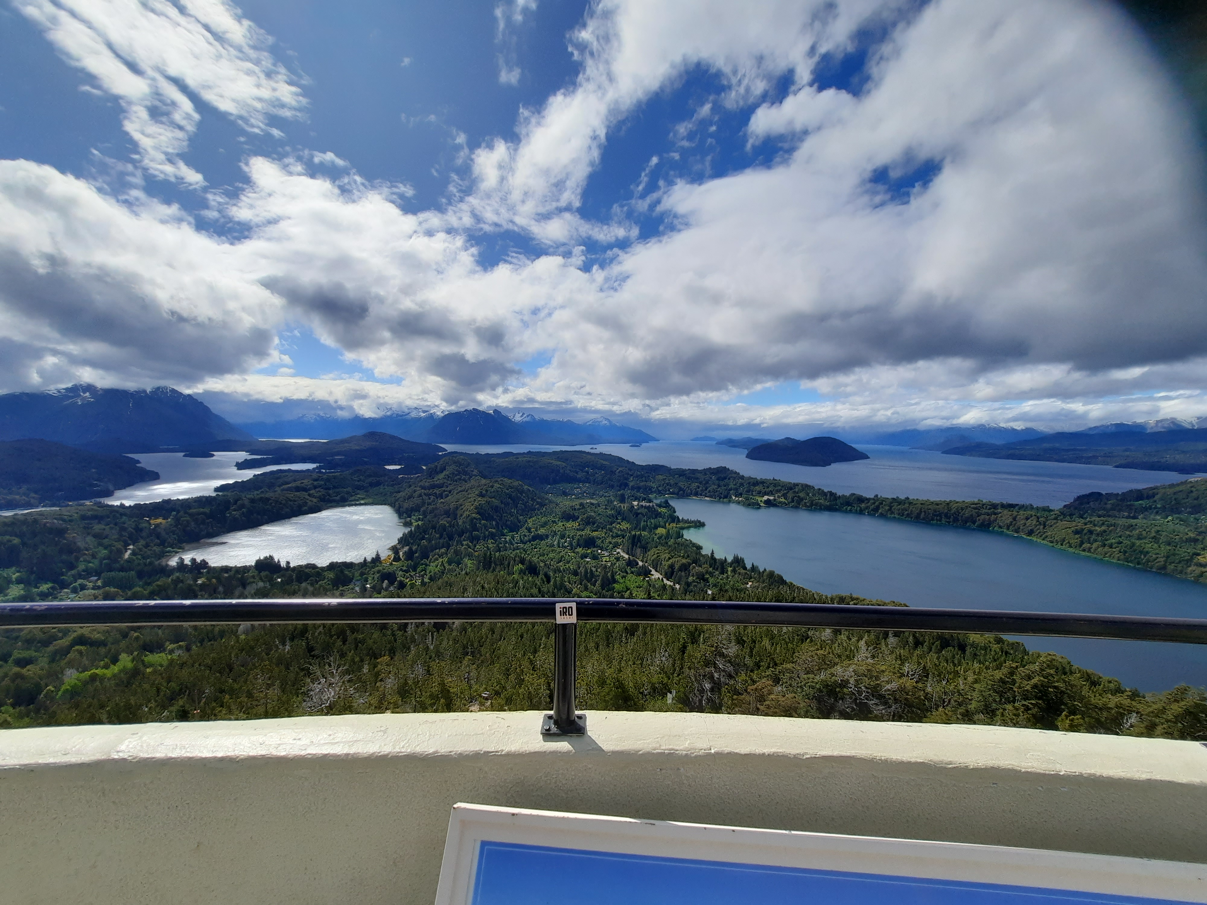
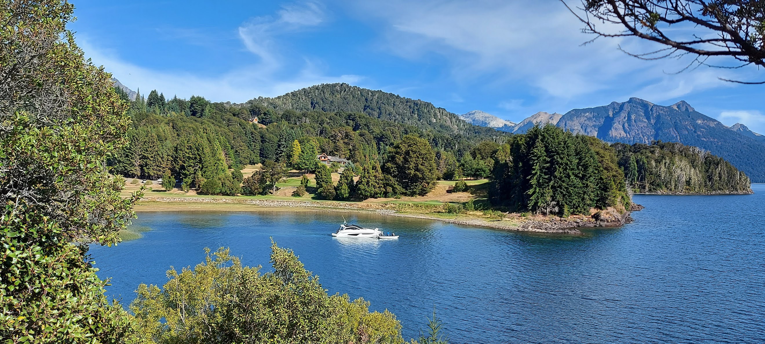
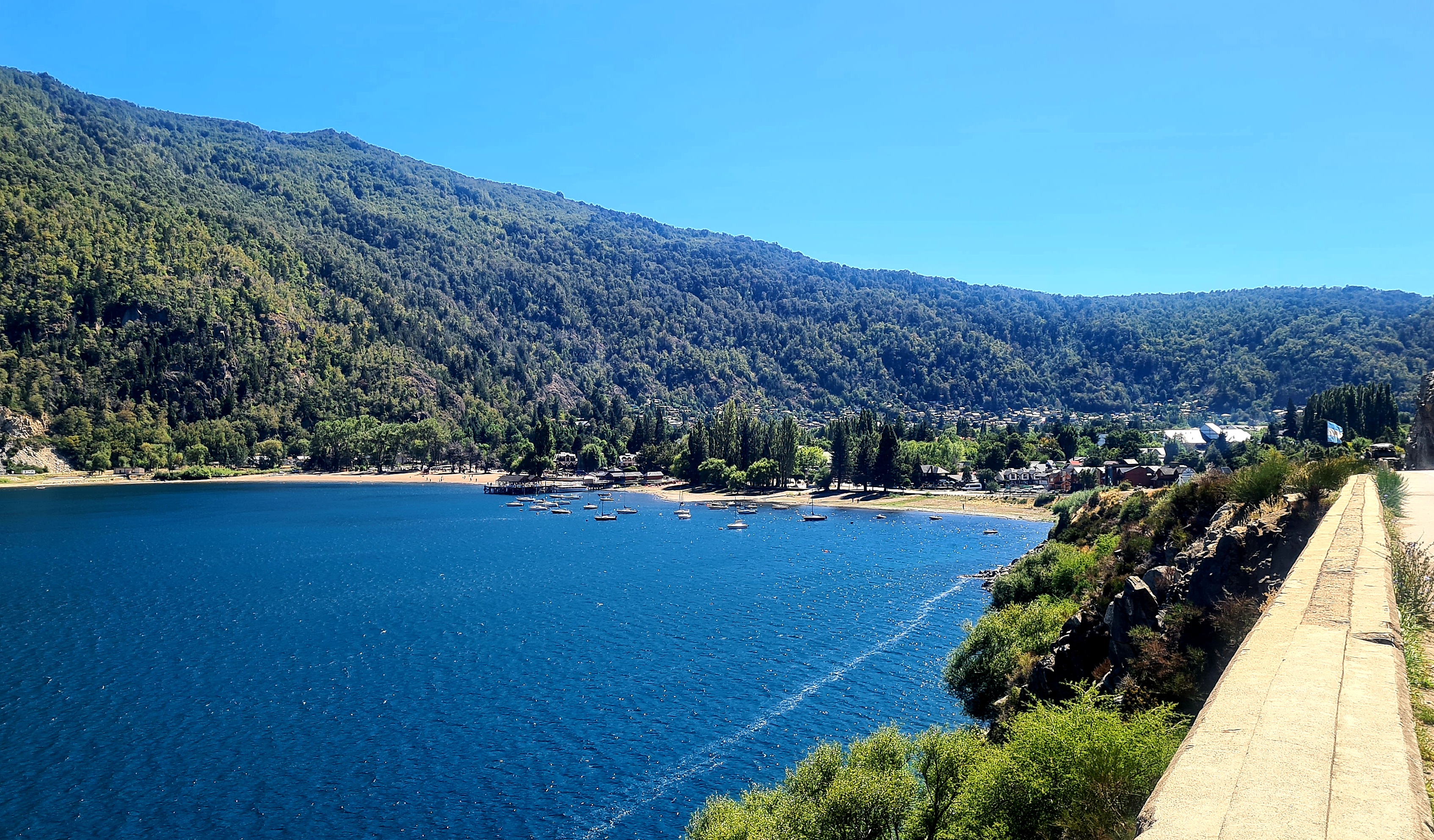
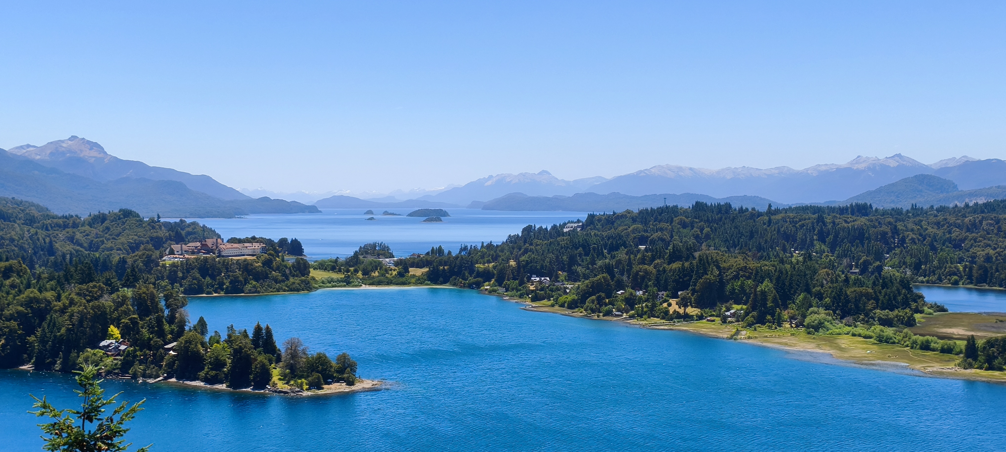
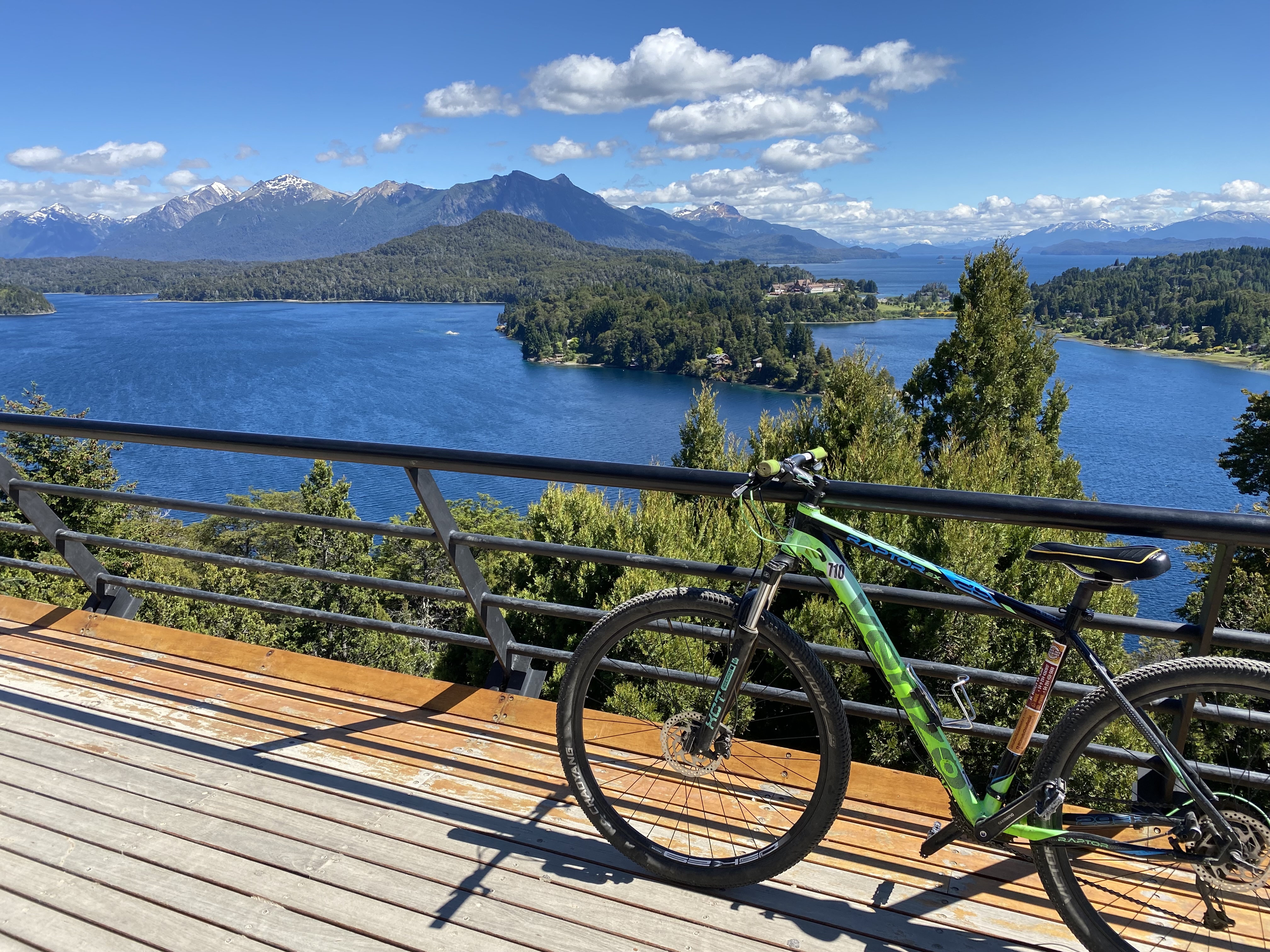
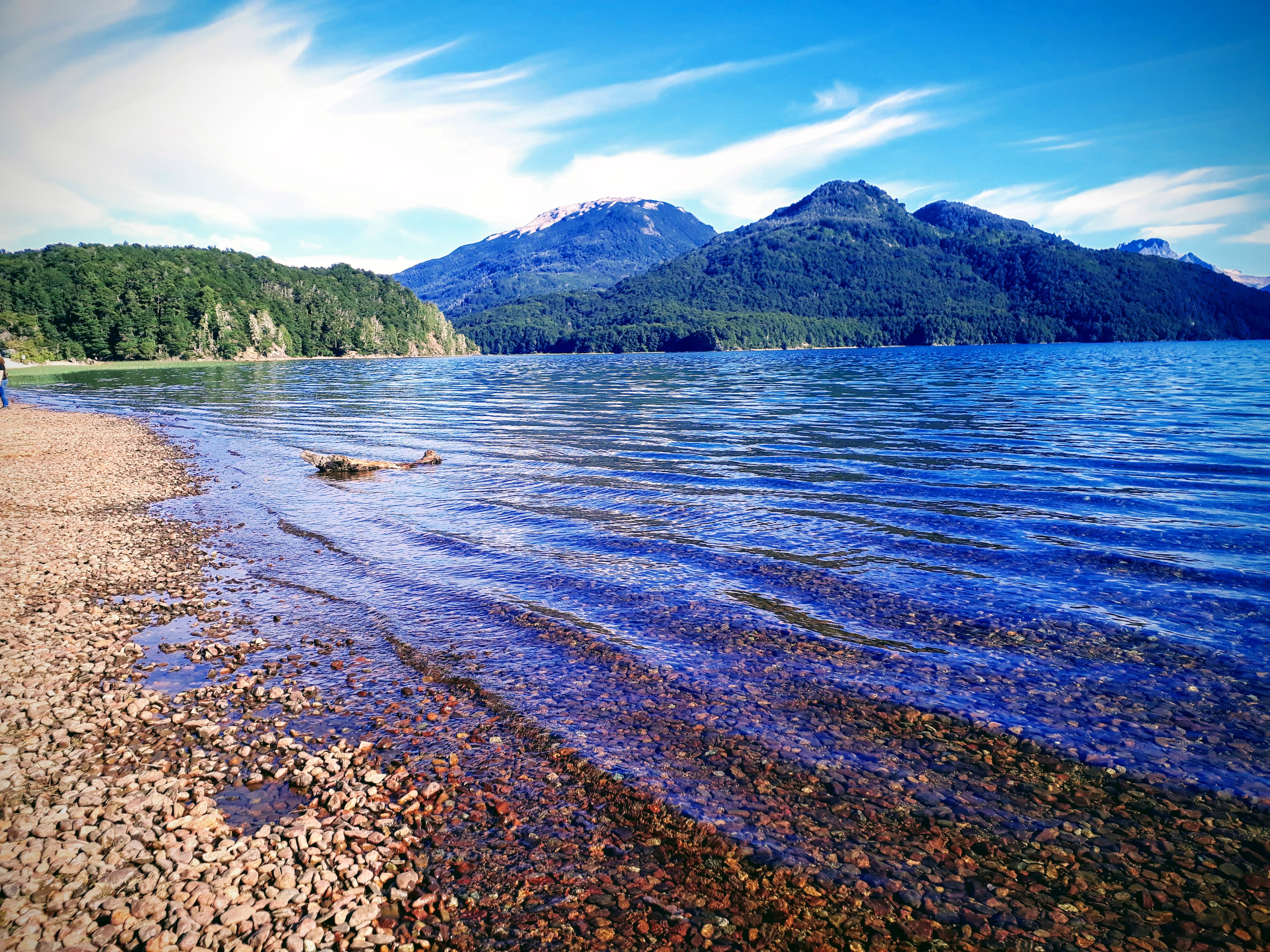
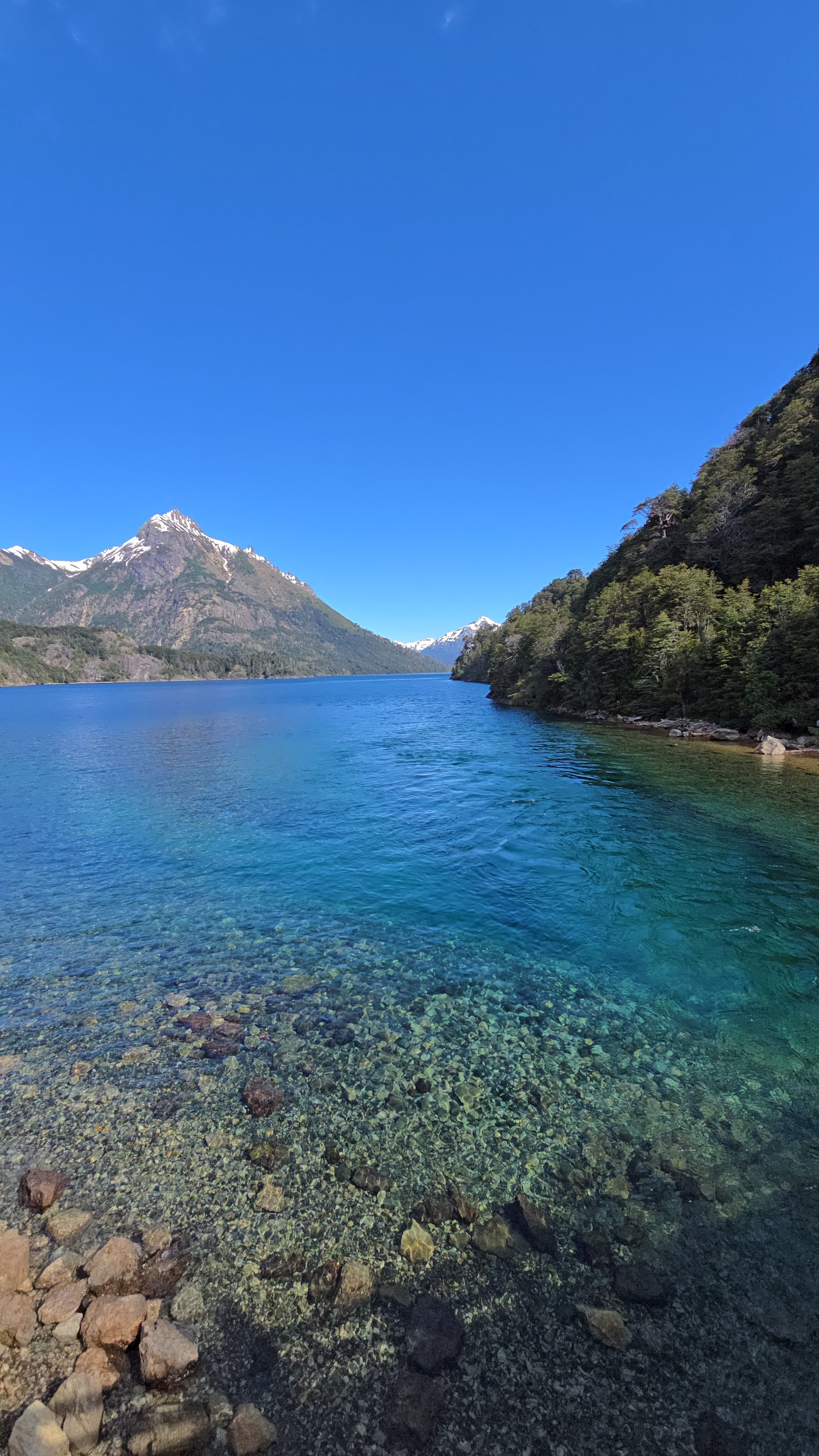
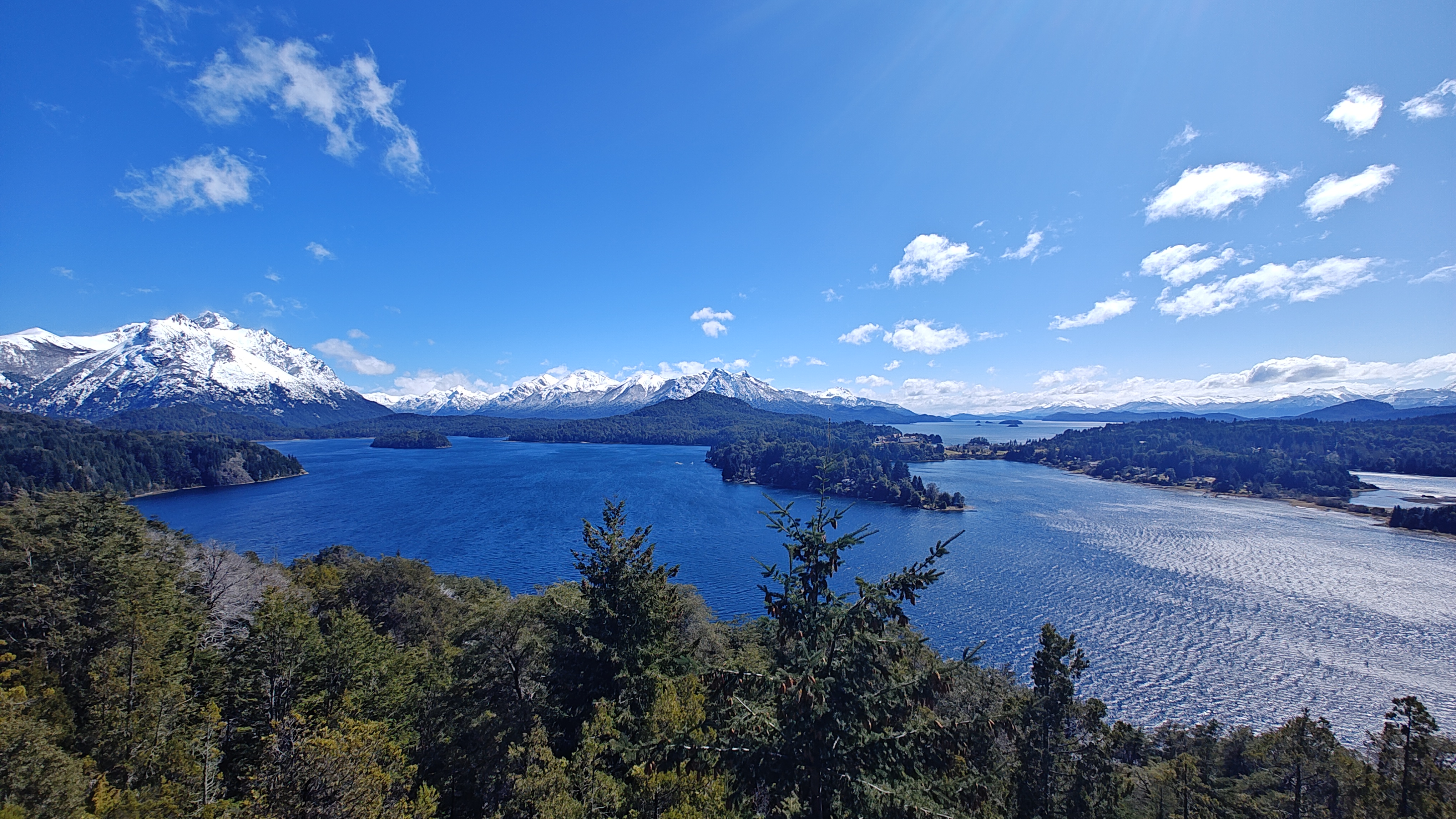
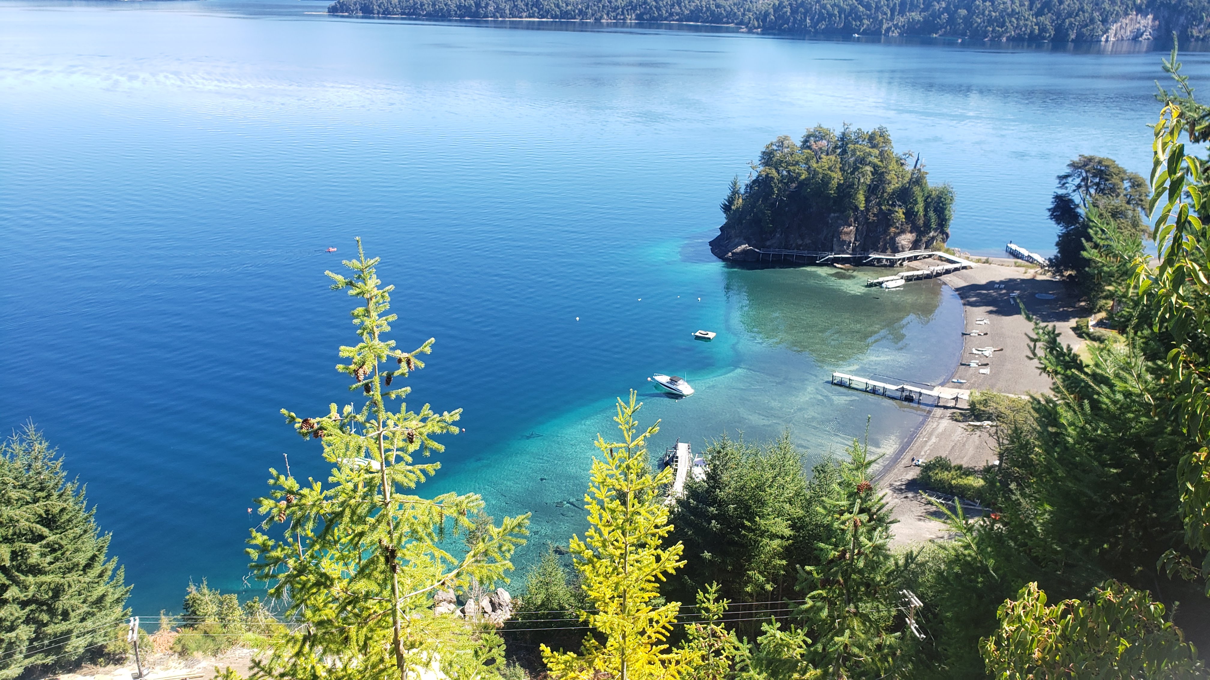
Overlook the deep lake carved by glaciers, its water an unbelievable blue, with the Llao Llao peninsula and Cerro Tronador drawing the classic Bariloche skyline across the water.
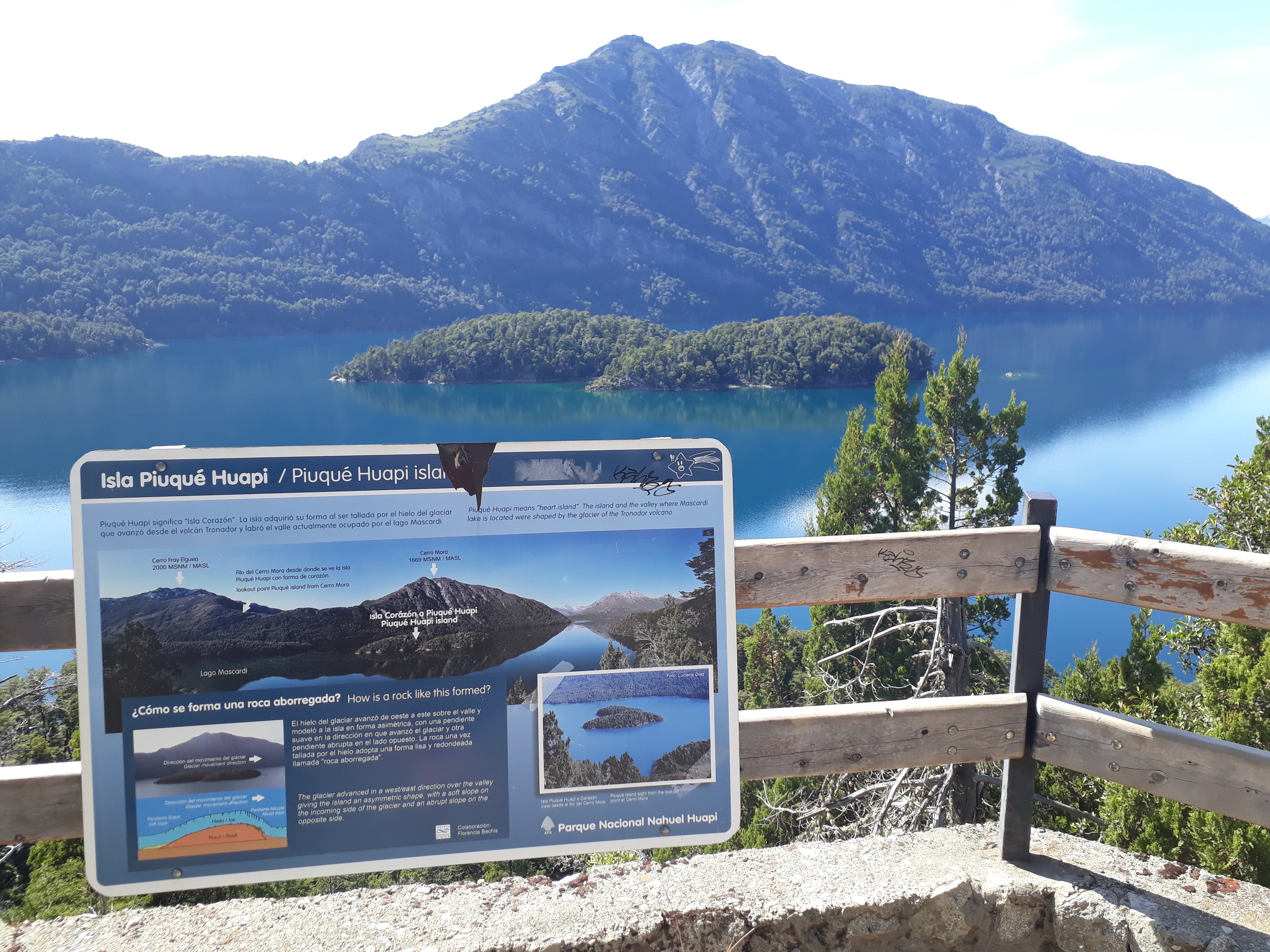
Punto Panorámico - Circuito Chico · San Carlos de Bariloche, Río Negro, Argentina
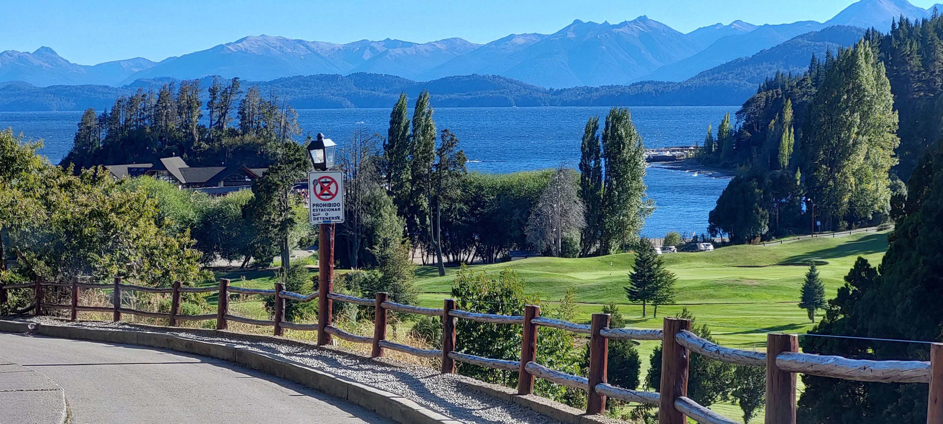
Punto Panorámico · An open public viewpoint beside the provincial RP77 "Circuito Chico" — overlooking the deep blue of Nahuel Huapi Lake, the Llao Llao peninsula and the snow of Cerro Tronador, one of the most soothing windows onto the Andes.
Welcome to Punto Panorámico - Circuito Chico, widely recognized as the central Mirador Chico (the meaning behind miradorchico.com). Located in the heart of San Carlos de Bariloche, Río Negro, Argentina, this destination serves as a primary hub for travellers visiting the Nahuel Huapi region.
When visiting Punto Panorámico - Circuito Chico, visitors can easily explore surrounding historical landmarks and points of interest, including Llao Llao and Cerro Catedral, as well as Colonia Suiza, Bahía López and Puerto Pañuelo.
See attractions near Punto Panorámico →The scenic road now known as the Circuito Chico traces back to the early 20th century, when Argentine National Parks pioneer Ezequiel Bustillo linked the finest viewpoints along Nahuel Huapi Lake into a single drive. The viewpoint itself has no gate and no fence: as a public space inside Nahuel Huapi National Park, it stays free and open to everyone, all day.
Read the full encyclopedia →To every traveller who drives the Circuito Chico
Welcome to Punto Panorámico. In Bariloche, Argentina, this bay along the provincial RP77 "Circuito Chico" has no ticket gate and no fence — it is simply an open terrace preserved at a bend in the road. On a clear day Nahuel Huapi Lake unfurls below like a sheet of deep-blue silk, with the Llao Llao peninsula and Cerro Tronador standing quietly across the water.
There are no rides, no noise — only wind, forest and a lake-blue that shifts with the light. At dawn the water often wears a thin mist; at noon the sun sets the snow peaks glowing; at dusk Cerro Tronador is gilded red by the setting sun — the most moving few minutes along the whole Circuito Chico.
As a non-profit team devoted to nature education, we built this site not only to tell you how to reach the viewpoint, but to invite you to arrive as a guardian rather than a mere visitor. When you stand on the ledge shaped by Andean westerlies for millions of years, you become both a witness to Patagonia's landscape and a co-keeper of its future.
Take a photo of the gilded peak. Leave the forest as you found it.
Let this Andean window stay open for every dusk.
Overlook the deep lake carved by glaciers, its water an unbelievable blue, with the Llao Llao peninsula and Cerro Tronador drawing the classic Bariloche skyline across the water.
Gaze toward the landmark historic Llao Llao hotel set halfway up the hill, and the snow-capped Cerro Tronador (3,554 m) rising behind it.
Feel the strong Andean westerlies and watch the hillsides of evergreen Coihue and the deciduous Lenga that turns red in autumn — the sound of wind through the trees is scenery in itself.
An always-open public viewpoint — unattended and free. Daylight and dusk give the best views; at night there is no lighting, it is cold and windy, so lingering is not advised.
A completely free public viewpoint — no ticket, no guide required, stop anytime. Please treat it as a landscape we all share.
The stop itself is ~20–40 min for photos; pair it with the whole Circuito Chico (Llao Llao, Colonia Suiza and more) by car and you have an easy half-day.
Bariloche's weather is changeable and windy. Below is the live weather at the viewpoint, a 7-day forecast, and advice generated automatically from the data — so you know what to wear, what to do and what to bring.
Bariloche is famous for changeable weather and strong wind. Below are wind, sunset and golden-hour references for the viewpoint to help you plan and shoot.
Drag the time to feel why the Golden Hour peaks around sunset. This is an illustrative curve (sun-angle approximation), not a measurement.
Punto Panorámico sits beside the Circuito Chico (RP77), about 12 km from downtown Bariloche. From town it is usually a 15-minute drive; from Teniente Luis Candelaria Airport (BRC), most routes cross the city before joining RP77. The road is fully paved and is one of Bariloche's classic scenic drives.
The Circuito Chico is Bariloche's classic road-cycling loop — well paved with gentle rollers; but the Andean westerlies often mean a strong headwind, so save energy and wear wind gear.
Punto Panorámico - Circuito Chico sits beside the Circuito Chico (Cto. Chico / RP77), about 12 km from downtown Bariloche. Below is the official map location together with consistent name and address details for navigation and verification.
For official updates and regional tourism information, visit the Argentina / Río Negro Official Tourism Portal and the official Nahuel Huapi National Park page.
The terrace itself has no kiosk, but the Restaurant Punto Panorámico next door serves Argentine grill and pizza; further along the Circuito Chico, Colonia Suiza and the Llao Llao area add more options.
The only place to sit down and eat right at the mirador, with tables facing the lake. It is a privately run business, separate from the free public terrace, and it fills up in high season and at weekends.
A village founded by Swiss settlers, known for its kuchen (cream cake) and open-fire asado — the tastiest stop on the loop.
The Llao Llao and Puerto Pañuelo area has cafés and hotel restaurants overlooking the bay — handy for a coffee or a quiet lunch before or after the viewpoint.
This is orientation information on where to find food, not a commercial recommendation. Prices and opening hours change: check on site or on Google Maps.
From the lake arms carved by glaciers, to the year-round Andean westerlies, to Mapuche reverence for these waters and the early-20th-century planners of the National Park — behind this terrace lie key natural and human memories of Patagonia.
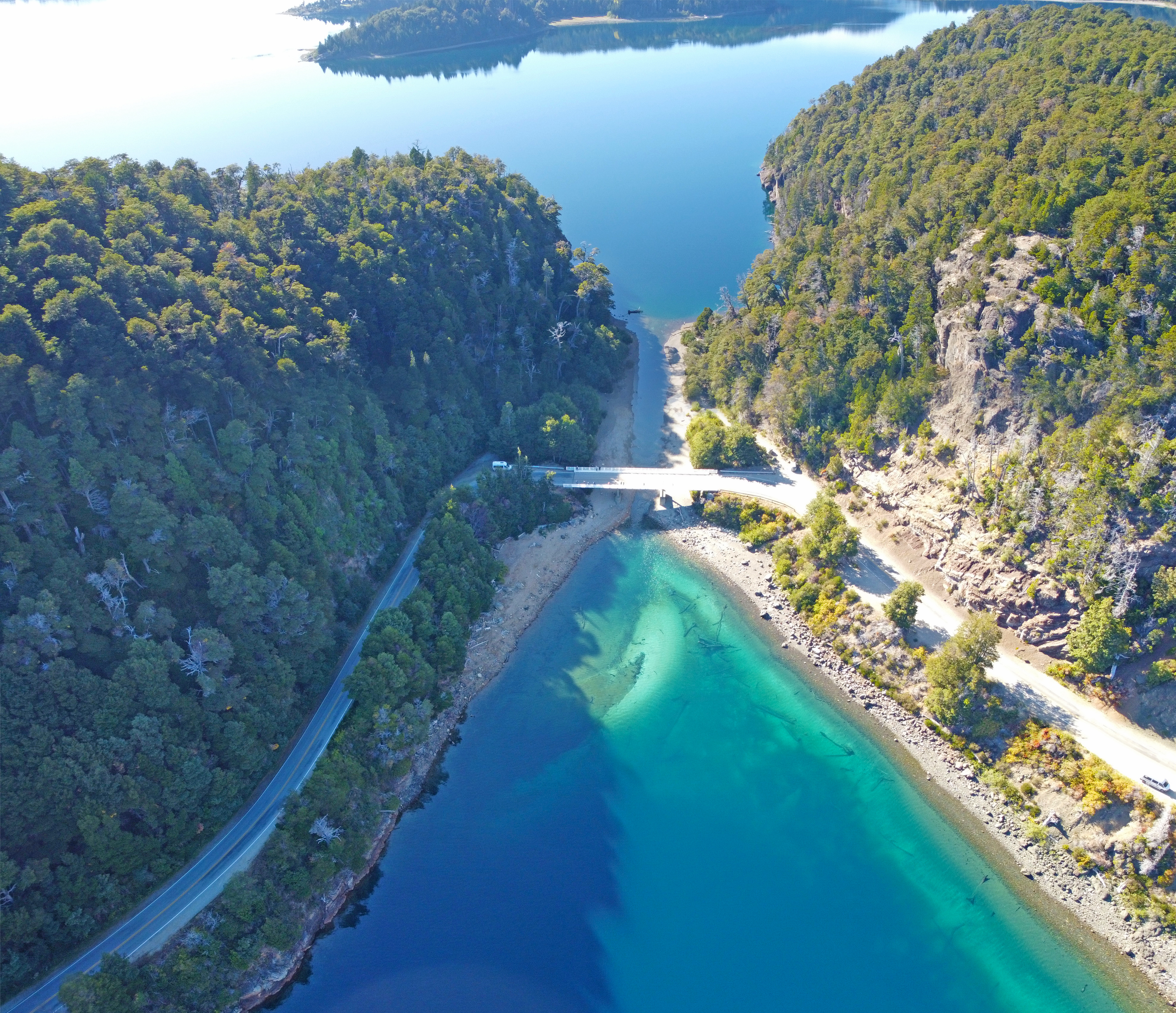
Tens of thousands of years ago, Patagonia lay under a vast ice sheet. Glaciers sandpapered the valleys into U-shapes and cut the "brazos" — fjord-like arms reaching deep into the land. When the ice retreated, meltwater filled these basins and formed the deep Nahuel Huapi Lake.
Strictly, Nahuel Huapi was not built by a single river but by water pooling in glacially overdeepened basins, which is why it is extremely deep with a fractured, fjord-like shoreline.
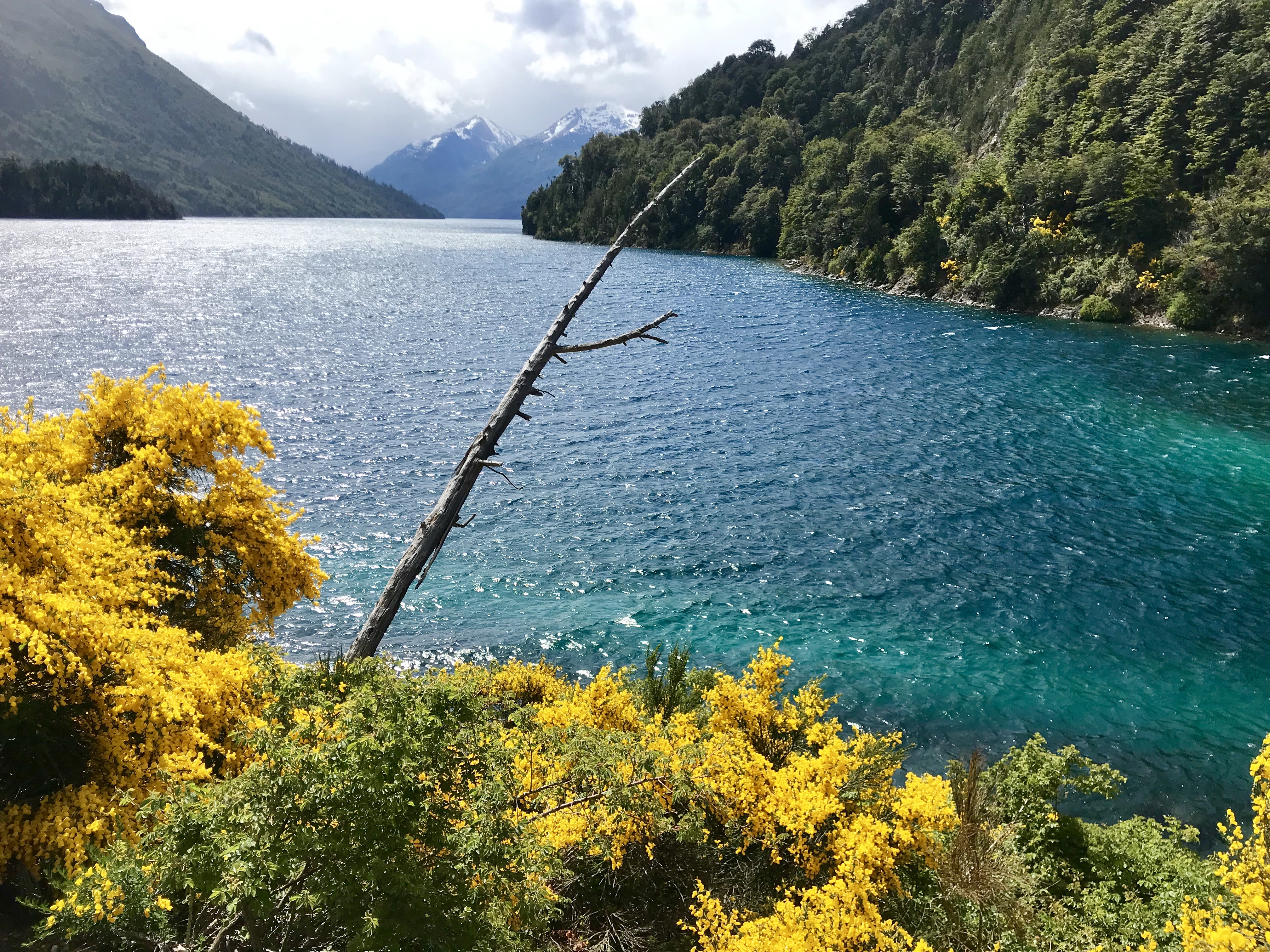
In the southern mid-latitudes, the prevailing "westerlies" blow from west to east. When this moist air hits the Andes it is forced up, cools, and rains out — feeding the lush forest on the western slopes; descending the far side it creates the drier, brighter climate of Bariloche in the rain shadow.
The strong wind you feel on the terrace is part of the whole mountain's "breathing". Occasionally an easterly downslope wind (viento puelche) brings unusually dry, warm air — and a higher fire risk.
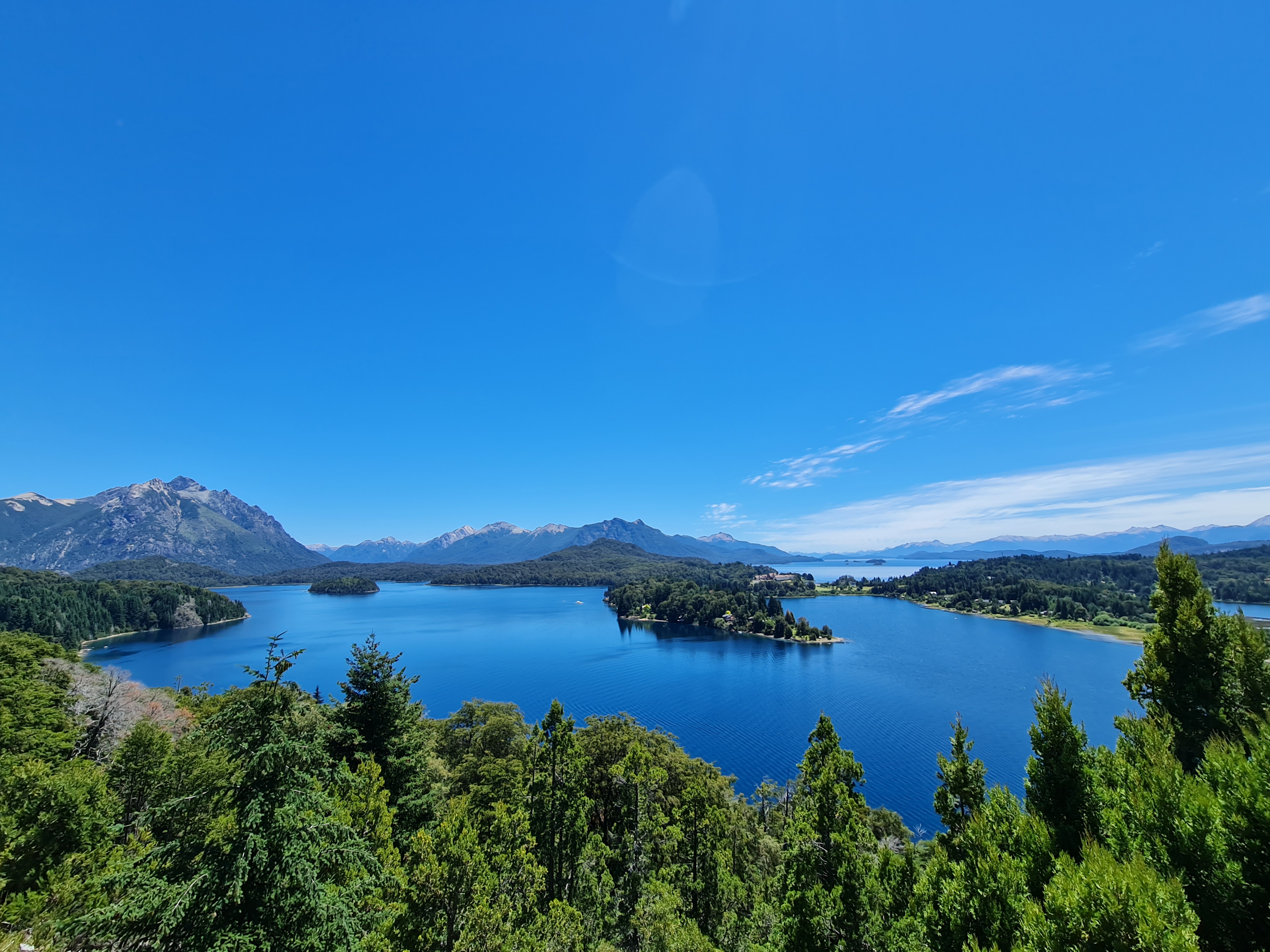
Long before the Spanish arrived, the Mapuche ("people of the land") lived for generations among these lakes and forests. In their worldview, lakes, mountains and springs were not resources but living presences to be revered and used with restraint.
"Nahuel Huapí" comes from Mapudungun, meaning "island of the jaguar". Today Mapuche communities remain vital cultural and ecological stewards of northern Patagonia, and many place names keep this linguistic memory alive.
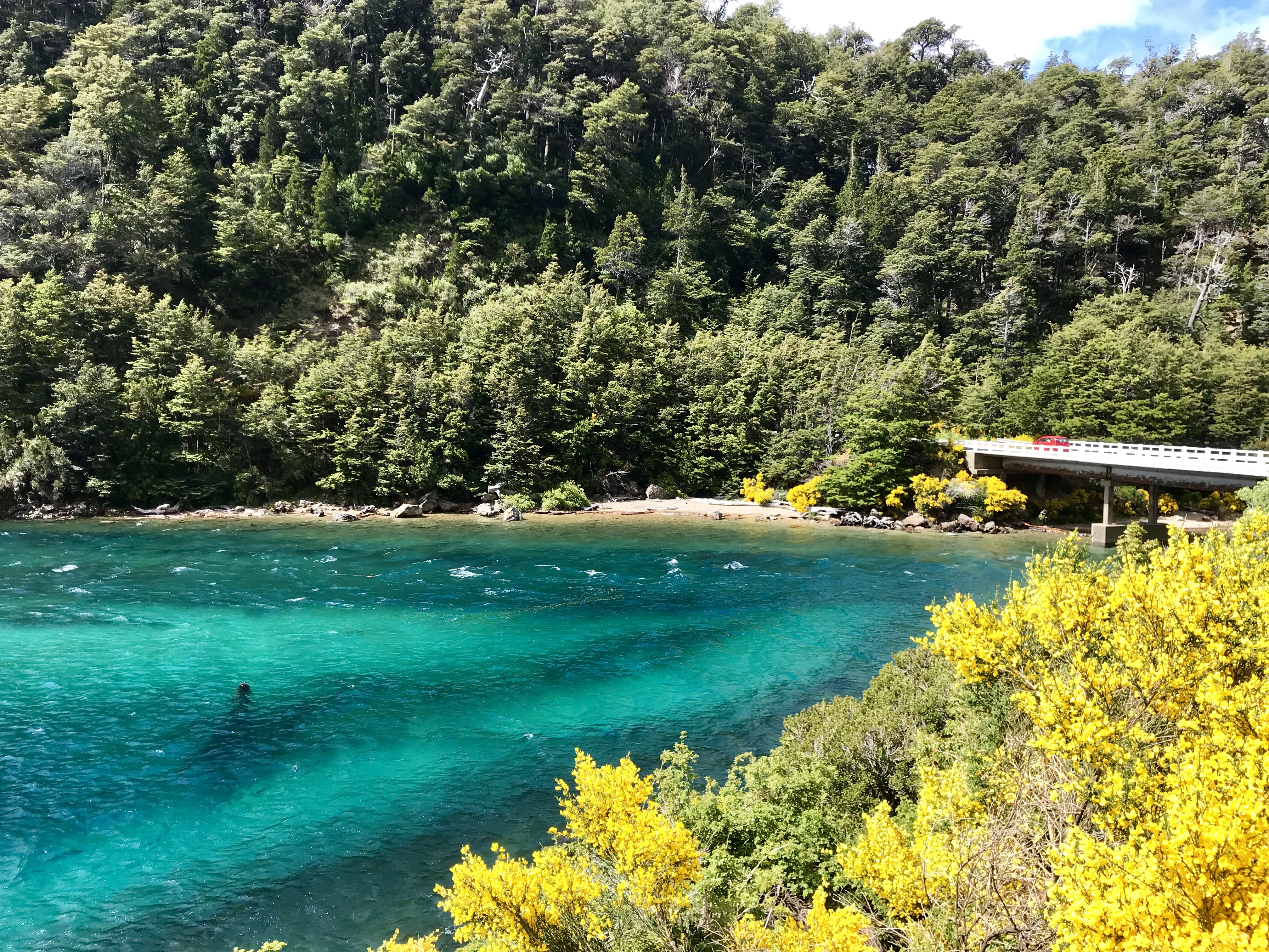
In the early 20th century, Ezequiel Bustillo — a pioneer of Argentina's National Parks — led the park administration and pushed hard for conservation and tourism infrastructure around Nahuel Huapi. It was under his planning that a loop road linking the best viewpoints was opened: today's Circuito Chico.
Around the same time, architect Alejandro Bustillo designed the Llao Llao hotel on the peninsula's hillside, now one of Bariloche's most iconic buildings. The layout of the Circuito Chico itself is an early example of "managing scenery as public heritage".
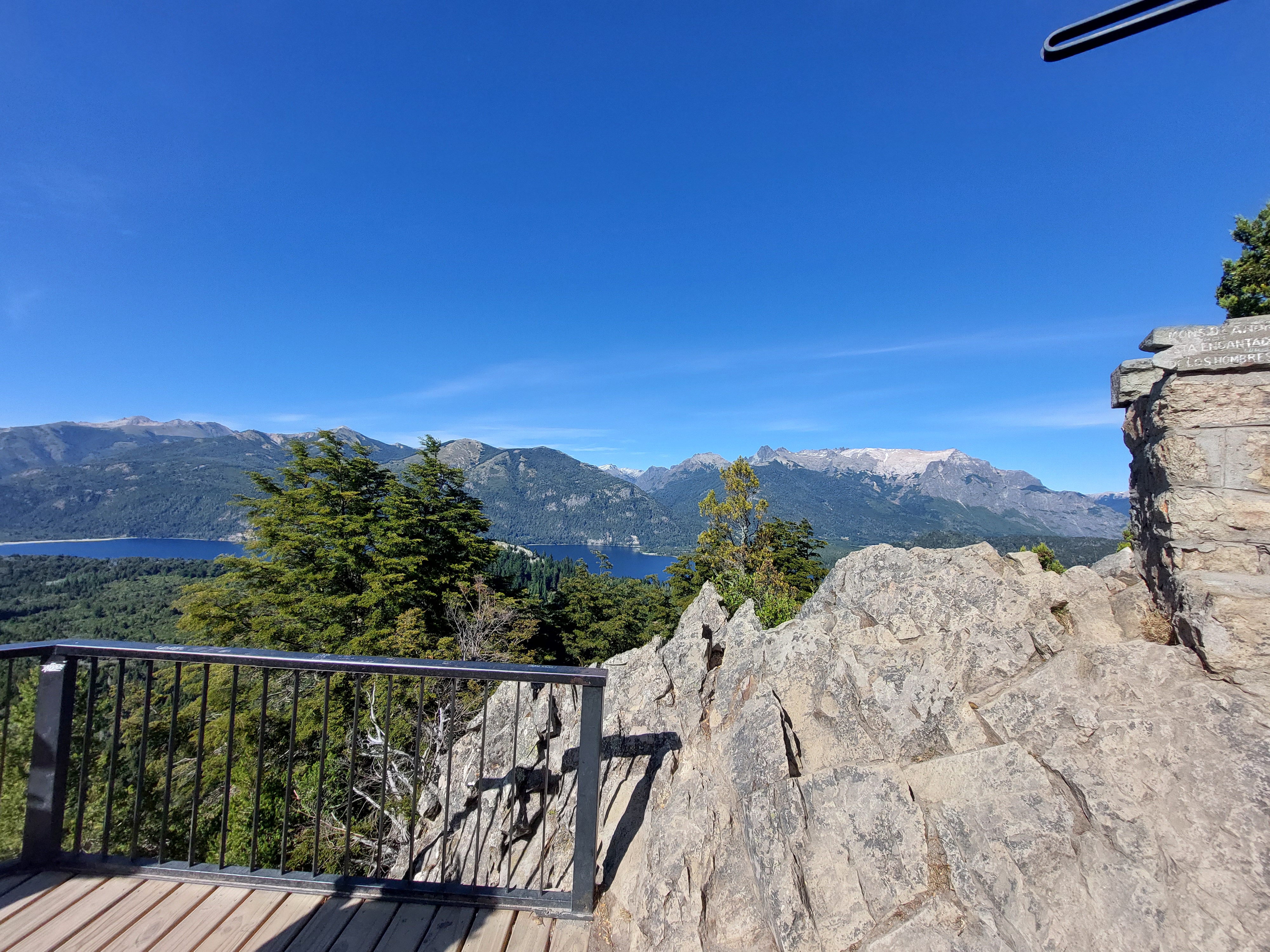
Cerro Tronador (3,554 m), on the Argentina–Chile border, is among the highest snow peaks near Bariloche. Its name means "the Thunderer", from the cannon-like roar of ice tongues cracking and falling into the valley.
Several glaciers hang from its flanks (such as Castaño Overa) and are among the few living glaciers visible to the naked eye from the viewpoint. Under global warming these glaciers are clearly retreating, making them a vivid natural yardstick of climate change.
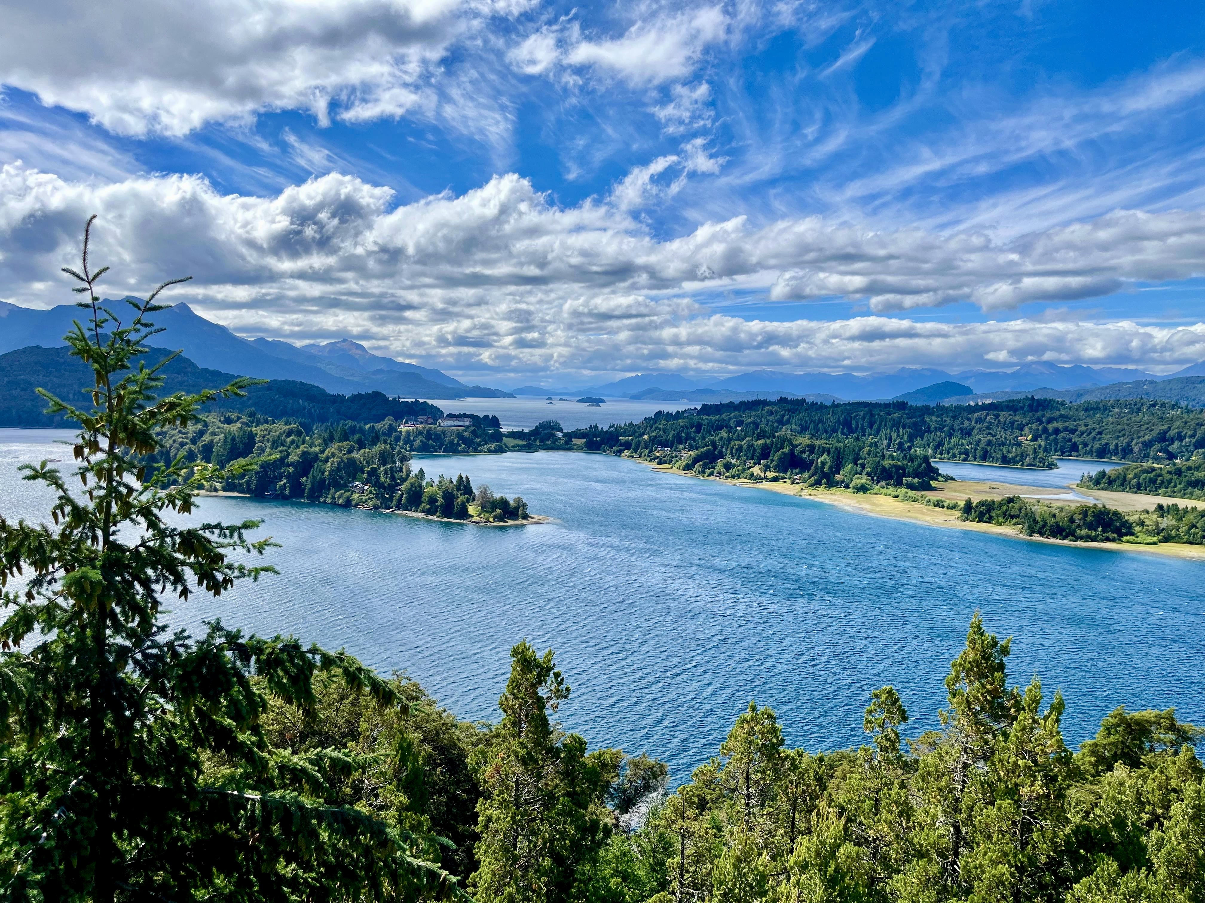
The forest around the viewpoint is the "Andean-Patagonian forest". The evergreen southern beech Coihue (Nothofagus dombeyi) forms a dense canopy, while the deciduous Lenga, which turns flame-red in autumn, stars in Bariloche's fall colour.
Most special is the myrtle Arrayán (Luma apiculata): its trunk glows orange-red and it concentrates in the nearby Los Arrayanes National Park. These species are extremely sensitive to humidity and altitude, making them living indicators of the local microclimate.
Though a famous resort town, Bariloche sits between the Andean-Patagonian forest and Nahuel Huapi Lake. From the evergreen Coihue at the cliff edge to the Andean condor wheeling overhead and the endangered huemul below the treeline, this landscape is a web of high-altitude life. Slow down — your meeting with these mountain dwellers often lasts but a single gust of wind.
Vultur gryphus
A giant raptor with a wingspan over 3 m, often gliding on the Andean westerlies between valleys. An icon of the Andes and a sacred bird in several Indigenous cultures.
Lycalopex culpaeus
Patagonia's common wild canid, its red-brown coat eye-catching by the roadside. Wary and curious — but never feed them; human food harms their health and changes their behaviour.
Hippocamelus bisulcus
An endangered deer of the far south Andes and a national symbol of Argentina, found mainly along the treeline deep in Nahuel Huapi Park. Seldom seen, it is an "umbrella species" for the health of these forests.
Nothofagus dombeyi
An evergreen southern beech forming the dense canopy of the Andean-Patagonian forest. Shade- and moisture-loving, it shelters countless birds and insects.
Luma apiculata
A myrtle with an orange-red glowing trunk, concentrated in the nearby Los Arrayanes National Park. Its smooth "red bark" is among the most photogenic plants of Bariloche's forest.
Nothofagus pumilio
Autumn redwoodA deciduous southern beech that turns flame-red in autumn — the star of Bariloche's fall colour. Tough against poor soil and wind, it often grows above the treeline.
Didn't expect a roadside pull-off to be this beautiful. Free, anytime, and the lake is unbelievably blue. At dusk Tronador turns gold-red — worth the whole drive.
A must-stop on the Circuito Chico ride. The pavement is great, but the westerly headwind on the way back is no joke — save energy. The lake view revives you instantly.
15 minutes from town, all paved — my parents in a sedan had zero trouble. Pair it with Llao Llao and a half-day is perfect.
Views are perfect, but the terrace is fully exposed — the day I went the wind shook my phone. Wear a hat and a wind shell; hold steady with both hands.
Came without a car! Took Línea 20, got off nearby and walked a bit — cheap fare. The driver was kind; just tell him in advance.
Arrived just before sunset on purpose — the whole snow range turned gold-red and the lake glowed warm. The most unforgettable ten minutes of the trip.
The viewpoint is by a bend; on busy weekends the pull-off fills up. Park to the side, never in a blind spot — safety first.
No booth, no kiosk — just wind and lake. This "purely public" viewpoint is the most relaxing exactly because of that. Let's keep it clean together.
The landmark of the Circuito Chico. The historic hillside hotel and golf course face Cerro Tronador — Bariloche's most classic postcard frame.
A major South American ski resort, famed for its winter slopes; in summer it becomes a hub for hiking and cable-car views over another face of Nahuel Huapi.
A Swiss-colony town beside the Circuito Chico, known for cream cakes (kuchen) and charcoal asado — a tasty refuel on the drive.
The boat port at the end of the Circuito Chico; ferries run to Isla Victoria and Lago Espejo, deep into forest and lake arms.
A bay with a short hike to a viewpoint; the water is intensely blue with superb reflections — another postcard stop after Punto Panorámico.
As a public space inside Nahuel Huapi National Park, Punto Panorámico belongs to every traveller and to the visitors who come after. Please read and commit to the code below so this Andean landscape stays clear for all.
There are no bins at the viewpoint. Carry out all waste (peels, tissues, bottles). Plastic blown into the lake harms waterbirds and the shoreline ecosystem.
Patagonian summers are extremely fire-prone. Absolutely no smoking, fires or open flames around the viewpoint — even a single cigarette end can ignite the whole forest.
The roadside foxes and birds look friendly, but feeding changes their behaviour and risks their health. Observe from afar and keep food stowed.
The terrace edge has no railing and borders private woodland. Do not climb over or enter closed areas, to avoid damaging vegetation or risking accidents.
Dusk is for photography and quiet enjoyment. Put away speakers, lower your voice, and let everyone hear the wind move through the forest.
The Andean westerlies are strong and temperatures swing — even in summer it can turn cold fast. Wear wind-proof warm clothing, keep clear of the edge, and look after older companions and children.
Take only photos, leave only footprints.
Keep the Andes wild.
The following information has been compiled by the independent miradorchico editorial team from publicly available sources and is provided for visitor reference only. Please verify the latest policies through official Argentine tourism and National Park channels before your visit.
Punto Panorámico is a completely free public viewpoint, open 24 hours and unattended. Daylight and dusk give the best views; at night there is no lighting, it is cold and windy, so lingering is not advised.
From downtown Bariloche, the easiest options are to drive, take a taxi/remis, cycle the paved RP77 Circuito Chico, or ride Línea 20 and walk from a nearby stop; from Teniente Luis Candelaria Airport (BRC), most travellers first reach town and then transfer to Línea 20, join a Circuito Chico half-day tour, or continue directly by rental car or taxi/remis.
Lake & peaks: on a clear day the blue lake and snow peaks are sharpest.
Golden Hour: about 60 minutes before sunset Cerro Tronador glows gold-red — the golden window for photography.
The terrace edge has no railing — keep clear of the drop and watch children; the Andean westerlies are strong, so dress for wind and cold; the terrace itself has no facilities, so bring water and food and carry out all litter.
It is located in San Carlos de Bariloche, Río Negro, Argentina, beside the Circuito Chico (Cto. Chico / RP77). Its Plus Code is WFHH+74 and its coordinates are about -41.0827, -71.5465, at a bend in the road overlooking Nahuel Huapi Lake.
There is a roadside pull-off beside the viewpoint. Park well to the side, never in a blind corner, and do not block Circuito Chico traffic. Spaces fill up on weekends and in high season, so mornings or dusk are best.
You look out over the deep blue water of Nahuel Huapi Lake with Lago Moreno beside it, the Llao Llao peninsula and its historic hotel, and snow-capped Cerro Tronador (3,554 m) beyond. On a clear dusk the peak turns gold-red.
The public terrace itself has no facilities (no water point, no kiosk). Right beside it, however, the Restaurant Punto Panorámico is a separate private business where you can sit down to eat (Argentine grill and pizza); for more choice, continue along the Circuito Chico towards Colonia Suiza or Llao Llao. Bring your own water and carry out all litter.
Yes. The free public terrace sells no food, but the Restaurant Punto Panorámico right beside it is a separate business serving Argentine grill and pizza, with some tables facing the lake. In high season and at weekends, arrive early or off-peak; for more choice, head along the Circuito Chico to Colonia Suiza or Llao Llao.
The information on this page was compiled by the independent miradorchico editorial team from public government, tourism and National Park sources, to strengthen the verifiability and expertise of the content. The external links below are for public-information verification only and are not commercial recommendations.
Route and transit verification
Ecology and safety notices
Municipal and road notices
Used to verify the public place name, address and rating.
Image credits: the property rights and copyright of all images displayed on this website belong to their original photographers.